 What's Biting FL
Boat ramp · saltwater · Panhandle
NOAA - NMFS
A public boat ramp in the Panhandle area. From here you can reach the waters covered by the Panhandle forecast, including Pensacola Pass, Destin East Pass, St. Andrew Bay.
Directions in Google Maps 30.14853, -85.71299
What to expect today
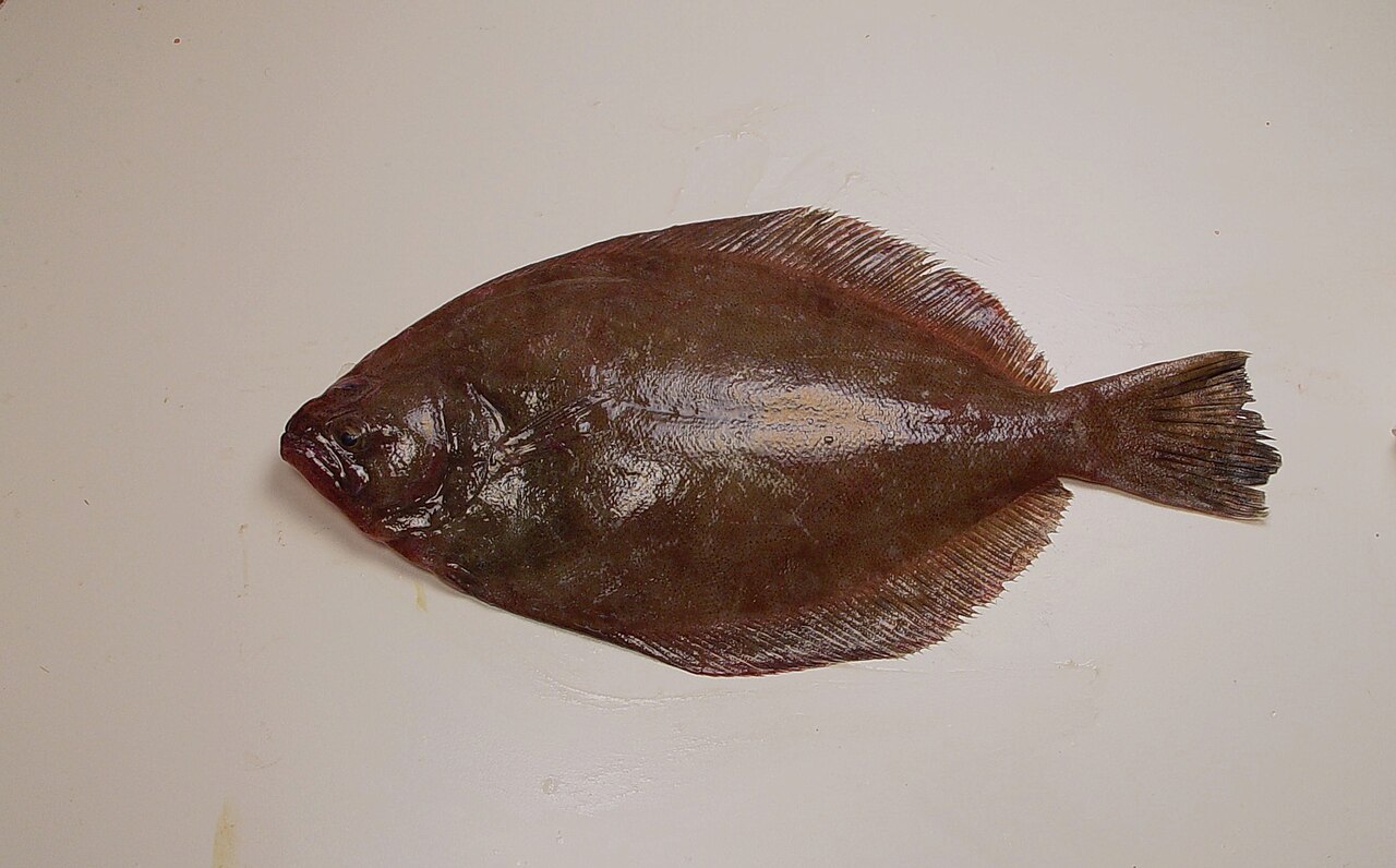
Flounder 10
Harvest closed here, catch and release.
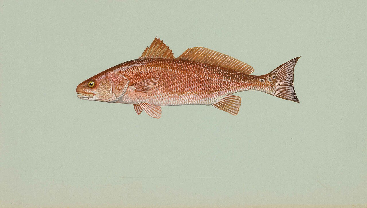
Redfish 9
New Moon feeding boost
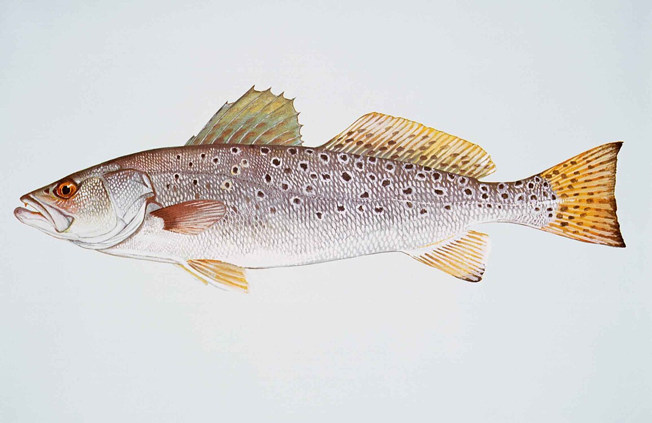
Spotted Seatrout 9
New Moon feeding boost
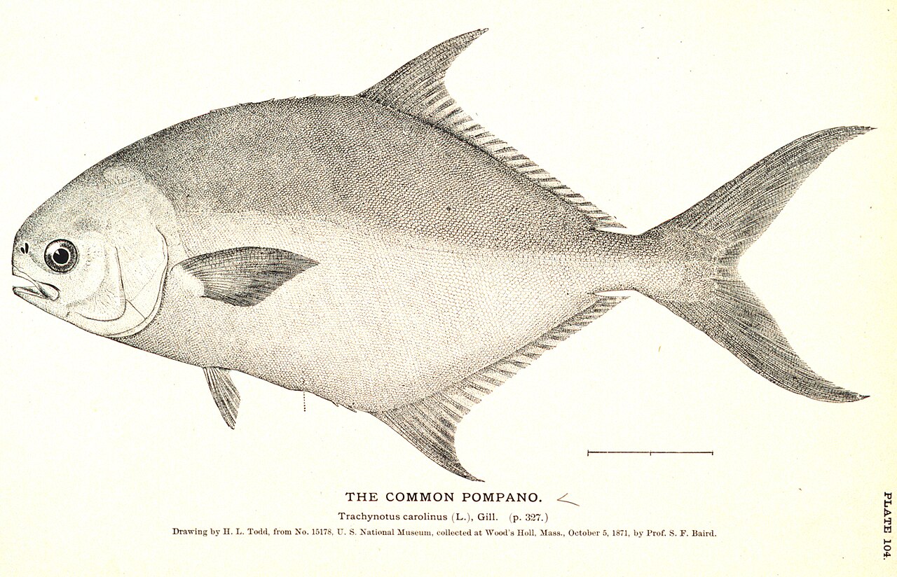
Pompano 9
New Moon feeding boost
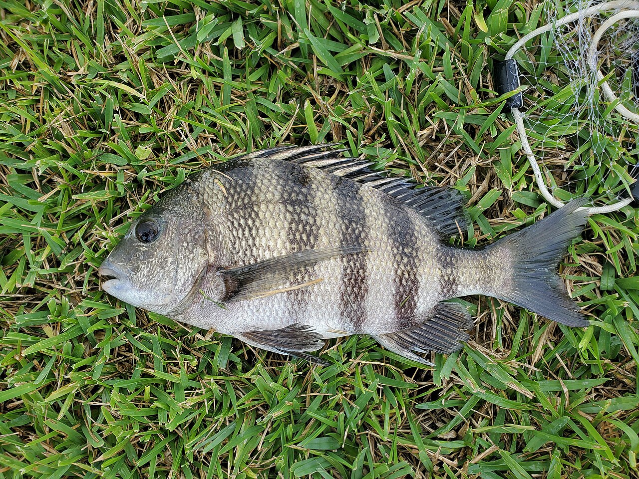
Sheepshead 8
New Moon feeding boost
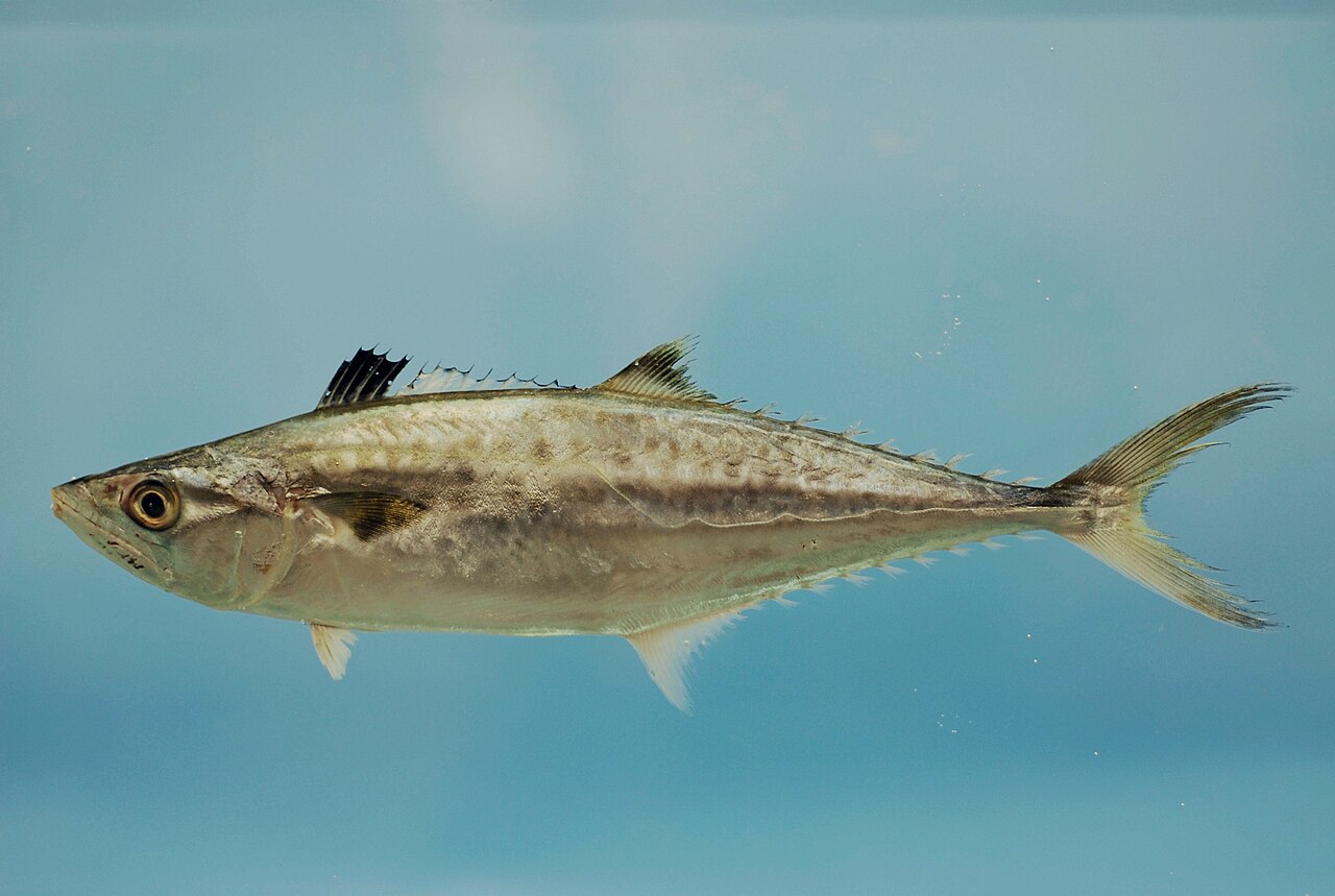
King Mackerel 8
New Moon feeding boost
Nearby public spots
- NOAA Pier (fishing pier)
- U.S. Coast Guard - Station Panama City (boat ramp)
- West Hathaway Bridge Boat Ramp (boat ramp)
- Pier C (fishing pier)
- Pier B (fishing pier)
Location from OpenStreetMap contributors (ODbL). Access, hours and fees change; confirm before you go. Regulations apply everywhere: see rules by species.